()
Apr 19, 2021
Having arrived in Bogong at night when the only visual cue was a small constellation of street lights floating in a strange spatial arrangement, it wasn’t until morning when I could assess the dramatic topography in which the village is situated. This state of disorientation, of needing to procedurally re-imagine the place through which you pass, can also become a space of potential and is something I want to examine during my time here.
I am interested in how we understand place and how, for example, cartography is used as a means of creating stable coordinates (or an empty grid) for making way, but also for making sense, a necessary framework for knowledge, history and power. In order to be readable, maps must distort reality. In 'On Exactitude in Science’ Borges muses that "In that Empire, the Art of Cartography attained such Perfection that the map of a single Province occupied the entirety of a City, and the map of the Empire, the entirety of a Province. In time, those Unconscionable Maps no longer satisfied, and the Cartographers Guilds struck a Map of the Empire whose size was that of the Empire, and which coincided point for point with it.” This map obscured the land and was torn to bits by the following generations.
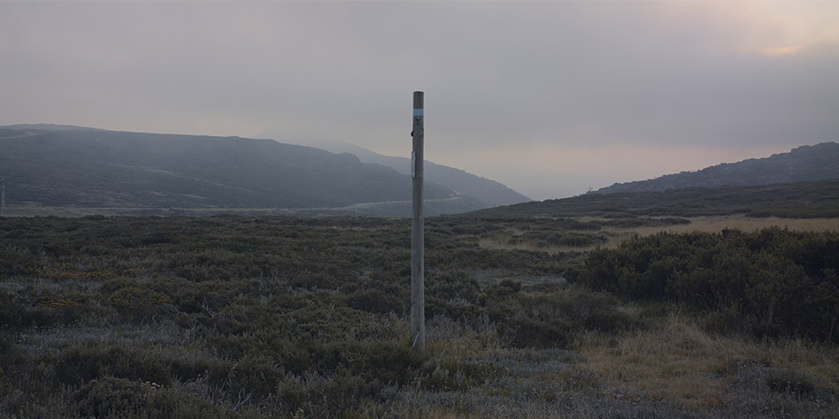
During the week I have gradually expanded my forays into the surrounding terrain as I begin to film, record sound and learn about the complex (and often fuzzy) history of the High Plains. Markers scatter the landscape offering hints of direction and faint paths can be seen all over, there is a feeling of suspense that lends a dramaturgy to the landscape. Against this stillness the rapidly changing weather creates a background of stochastic motion. I’m thinking of how this land moves and what has moved through the land - what kind of map can address a fluid history and trajectories of change?