The Kiewa River Sound Map
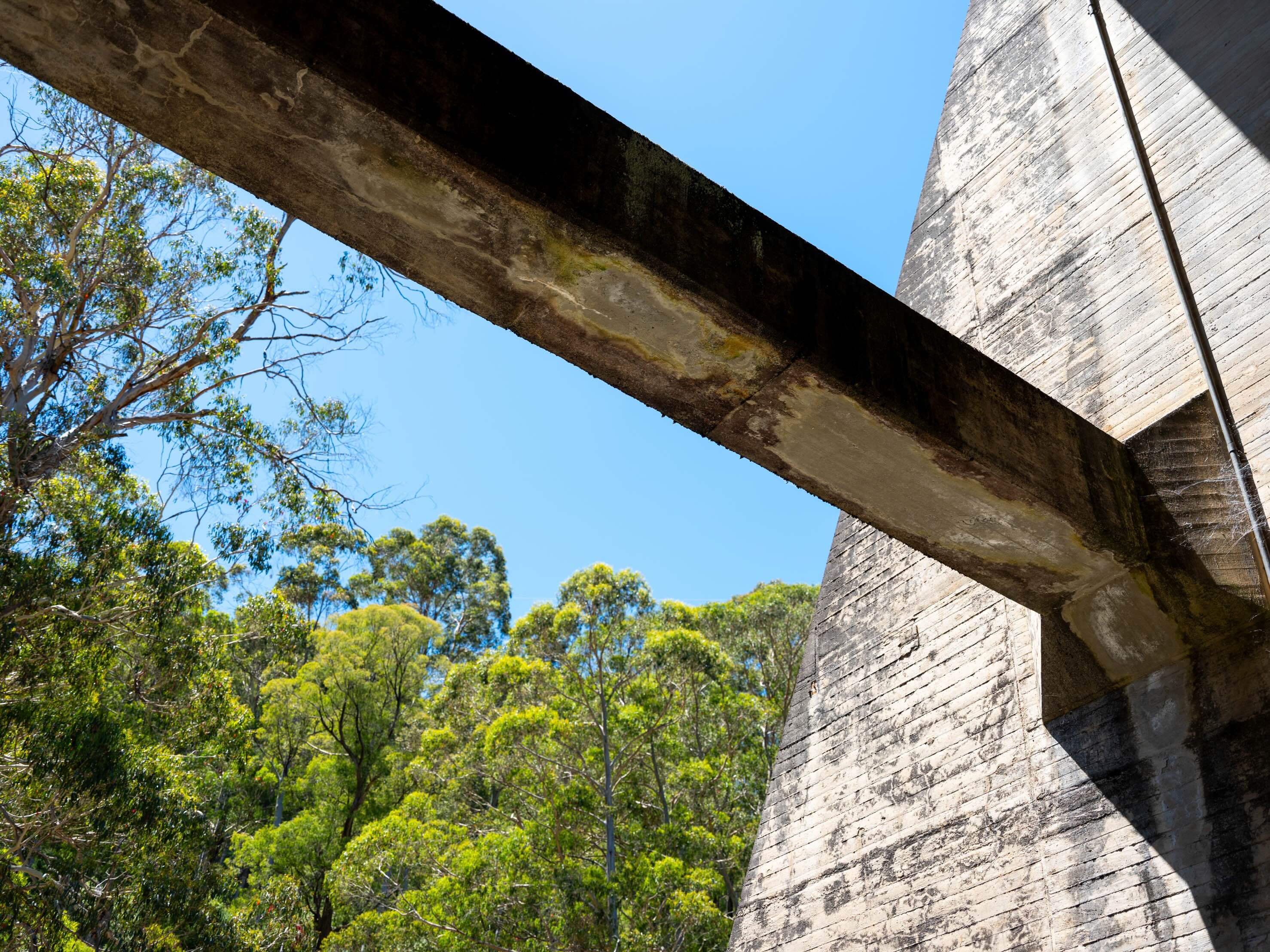
The Kiewa River Sound Map is a new web-based project tracing the evolving acoustic life of the Kiewa River from its alpine headwaters in the Bogong High Plains to its confluence with the Murray River. Through field recordings, video, and an aleatoric digital interface, the project explores how water, weather, ecology, and human intervention shape the river’s shifting sonic character. Spanning alpine environments, hydroelectric infrastructures, and agricultural plains, it reveals both the ecological resilience of the river and the complex legacies of human activity. Positioning listening as both inquiry and ethics, the work traces the environmental and cultural resonances that continue to shape our relationship with rivers today.
The project has been generously supported by the Gwaertler Stiftung, whose commitment to interdisciplinary artistic research and environmental engagement has been central to supporting its development.
You can access the Kiewa River Sound Map here.
